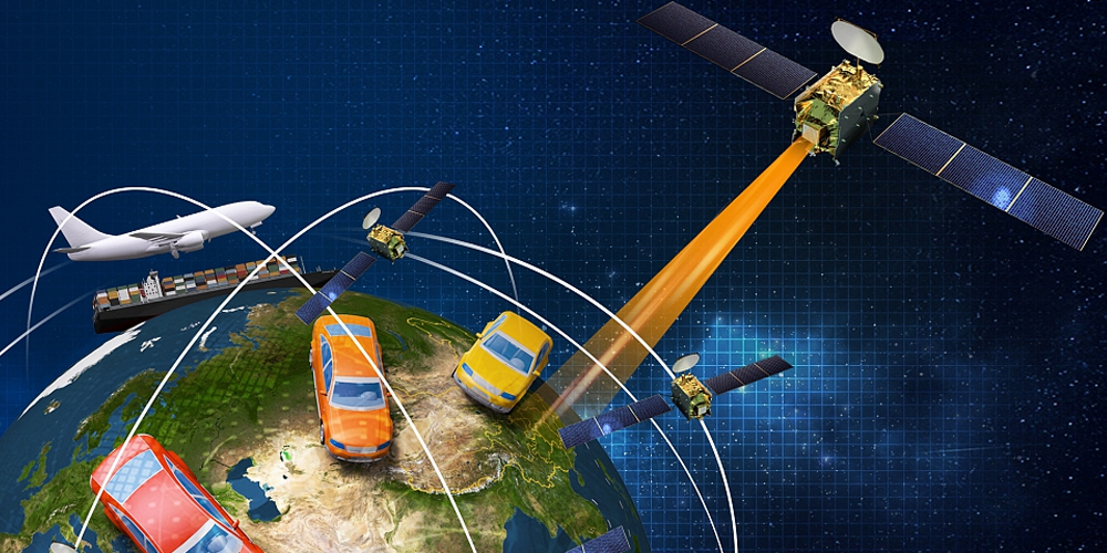
The BeiDou Navigation Satellite System (BDS) is a Chinese Global Navigation Satellite System which was completed on 23 June 2020.
BeiDou is comprised of two satellite constellations; the original BeiDou system, officially called the BeiDou Satellite Navigation Experimental System (BeiDou-1) which consisted of three satellites which provided limited services mainly for users in China.
The second satellite constellation is comprised of BeiDou-2 and BeiDou-3.
The 55th and final satellite signified the completion of the the third iteration of the BeiDou Navigation Satellite System, which primary objective is to provide global coverage for timing, location and navigation. An alternative offering to America’s GPS, GLONASS of Russia, and the European Galileo positioning system.
- BeiDou-1
- Also known as BeiDou Satellite Navigation Experimental System
- Comprised of 3 Satellites
- Released in 2000, decomissioned in 2012
- BeiDou-2
- Officially known as the BeiDou Navigation Satellite System & COMPASS
- Comprised of 10 satellite partial constellation, servicing Asia Pacific region
- BeiDou-3
- Continued with the BeiDou Navigation Satellite System BDS name
- First satellite launched in 2015, with the last satellite launched 23 June 2020
- Complete satellite network of 30 satellites providing service to the entire globe
Configuration
BeiDou maintains the following constellation of satellites;
- 24 Medium Earth Orbit Satellites (MEO)
Signal frequencies- B1C/B1I/B1A (1575.42 MHz)
- B2a/B2b (1191.795 MHz)
- B3I/B3Q/B3A (1268.52 MHz)
- Bs test frequency (2492.028 MHz)
- 3 Geostationary Satellites (GEO)
- 3 Inclined Geosynchronous Orbits (ISGO) Satellites

Intersatellite Radio-Frequency Link
Since the ground stations in China cannot continuously track and control all BeiDou Systems satellites due to lack of a global ground control network spanning the various continents, an inter-satellite radio-frequency link will help establish communication among them.
Timing instructions are sent from the gps ground control center to a BDS-3 satellite, which is then relayed across to the various other satellites through the IRFL on the Ka band.
This can only be achieved with Inter-Satellite Link (ISL) antennaes.
