The Global Positioning System (GPS) is the United States Global Network Satellite System (GNSS), a space-based navigation system nominally consisting of a 24-satellite constellation that provides positioning and timing information to military and civilian users worldwide.
GPS was launched in the late 1970s, and was the first GNSS system, initially only intended for US Military use, it was later unresistricted by the US Government, allowing civilian use was from the 1980s.
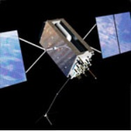
Satellites
GPS satellites circling the Earth every 12 hours broadcast continuous GPS signals on two different L-band frequencies, L1 and L2.
76 GPS navigation satellites have been launched as of 6 November 2020
Of those 76;
- 31 of which are operational,
- 9 in reserve,
- 3 being tested,
- 30 have been retired,
- 2 were lost at launch
- 1 launched on 5 November 2020.
The minimum requirement for the constellation requires 24 satellites which need to be operational.
The typical amount of active in the Navstar system is 31.
To be able to provide accurate location data, the device receiving the GPS signal needs to communicate with 4 satellites to determine its position in 3-dimensions.
| BLOCK IIA | BLOCK IIR | BLOCK IIR-M | BLOCK IIF | GPS III/IIIF |
|---|---|---|---|---|
| Legacy | Legacy | Modernized | Modernized | Modernized |
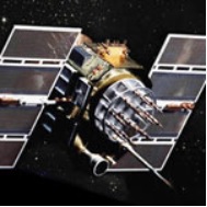 | 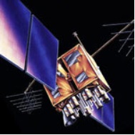 | 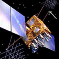 | 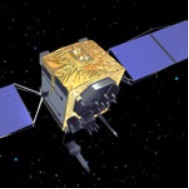 |  |
| Operational: 0 | Operational: 8 | Operational: 7 | Operational: 12 | Operational: 3 |
| – List Coarse Acquisition (C/A) code on L1 frequency for civil users – Precise P(Y) code on L1 & L2 frequencies for military users – 7.5-year design lifespan – Launched in 1990-1997 Last one decommissioned in 2019 | – 2C/A code on L1 P(Y) code on L1 & L2 – On-board clock monitoring – 7.5-year design lifespan Launched in 1997-2004 | -All legacy signals 2nd civil signal on L2 (L2C) – New military M code signals for enhanced jam resistance – Flexible power levels for military signals – 7.5-year design lifespan – Launched in 2005-2009 | -All Block IIR-M signals 3rd civil signal on L5 frequency (L5) – Advanced atomic clocks – Improved accuracy, signal strength, and quality – 12-year design lifespan – Launched in 2010-2016 | -All Block IIF signals 4th civil signal on L1 (L1C) – Enhanced signal reliability, accuracy, and integrity -No Selective Availability –15-year design lifespan IIIF: laser reflectors; search & rescue payload -First launch in 2018 |
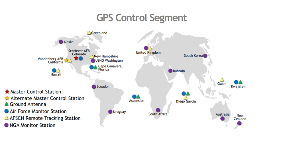
Control Segment
Satellites also require support from the ground, which is commonly referred to as the Control Segment.
The control segment of the GPS satellite network processes the data received from the satellites, to the GPS devices that acquire the GPS signals, translating this data into positioning and timing information.
This segment is important as it helps to keep all the data in synchronization throughout the entire network.
The GPS Control Segment (CS) is comprised of:
- Master Control Station (MCS)
- Alternate Master Control Station
- Dedicated Ground Antennas (MSs)
- dedicated Monitor StationsGAs
Timing & Time Keeping
Time is critical in GPS positioning, as it helps to measure the distance between the receiver of the GPS signal, and the satellite.
Atomic Clocks found on GPS Satellites do not adhere to Coordinated Universal Time (UTC), instead they are set to GPS time (GPST).
The difference with GPST is that it does not account for leap seconds or various other corrects that UTC contains.
This means that over time, GPS will diverge from UTC time.
In 1980 GPS time was set to match UTC in 1980, and in order to keep time synchronized periodic adjustments needs to be carried out manually to the satellite onboard clocks.
However, the lack of corrections during the periods without time adjustments means that GPS time remains at a constant offset with International Atomic Time (TAI).
GPS Services
GPS provides several services including highly accurate and three-dimensional location information, precision velocity and timing services, and accessibility to an unlimited number of global military, civilian, and commercial users.
Military
The military GPS/GNSS devices appear up in many military applications for Force Deployment, Logistical Support and Vehicle Navigation, such as:
- GPS-aided navigation for soldiers, aircraft, ships & land vehicles
- Remotely operated vehicles/unmanned aircraft (drones)
- Signal Jamming or anti-jamming applications.
Civilian
Since becoming available to civilians, GPS has found many uses in our society.
The global availability, the fact that it is free, and the accuracy of GPS for positioning and timing, combined recently with the low value of receivers, has made GPS the preferred solution for the following:
- Aviation
- Shipping & Rail Transport
- Science
- Security
- Heavy Vehicle Guidance
- Surveying, Mapping and Geophysics
- Telecommunications
- Financial Services
- Social Activities
The future of GPS
The future of GPS will be virtually unlimited; technological fantasies abound.
The GPS system provides a novel, unique, and instantly available address for every square meter on the surface of the planet.
We may start to see a new international standard for locations and distances; our locations may not be defined by address, city and state, but by longitude and latitude.
The search for the nearest supermarket or petrol station will be completed in an instant, through processes called geocoding & reverse geocoding.
The US Military provided the world a technology with a specific purpose, and the free market gave boundless opportunities.