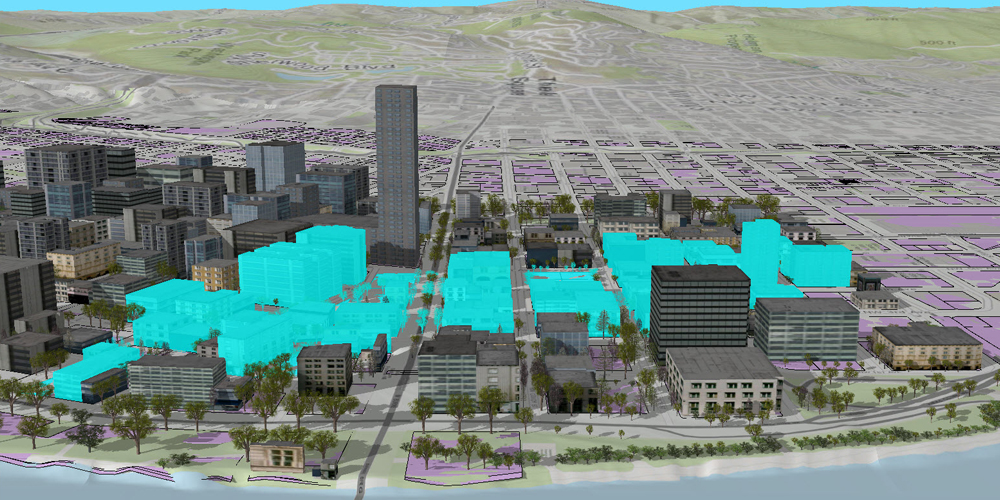
GIS software, otherwise known as a Geographical Information system is designed to store, process, manage, retrieve and display all types of spatial and geographical data.
GIS software allows you to create maps and other various graphical displays of geographic information which is to be analyzed and presented.
This software is used by a variety of academic institutions, commercial departments and government entities.
GIS Mapping Software Providers
There are many different providers of GIS software, ranging in open-source, freemium to paid.
They all provide geospatial information for a variety of uses, such as to work with a gps tracking system.

Google Earth Pro on desktop is free for users with advanced feature needs. Import and export GIS data, and go back in time with historical imagery.

OpenStreetMap is an open source project to with the objective to create a editable map of the world free of cost. The geographical data from the map is the main output of the project.
Maptitude is a mapping software program created by Caliper Corporation that allows users to view, edit and integrate maps. The software and technology are designed to facilitate the geographical visualization and analysis of either included data or custom external data

Surfer® is a full-function 2D and 3D mapping, modeling, and analysis software package for scientists and engineers.
GIS with GPS Tracking Software
GPS tracking software such as traccar, gps-server and gpsgate require a GIS overlay for people to interface with.
By applying a pin over a map, users are able to reference where a device is currently situated.