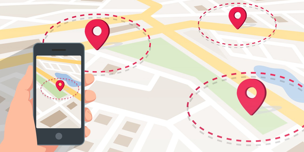
A geozone or geofence is a virtual perimeter configured for a real-world geographic area
Geozones are primarily created within mapping applications by setting boundaries by using either of the following:
- GPS Co-ordinates
- Street addresses
The use of a geofence is called geofencing.
How does geofencing work
A geofence can be generated dynamically as a radius radius around a point or location.
They can also be created using a defined set of boundaries.
You can use geofencing to mark perimeters around
- Schools
- Streets
- Neighbourhoods
- Offices
- Anywhere
An example of geofence usage involves a GPS enabled device entering or exiting a geo-fence, which has been configured around a school.
This activity could then trigger an alert, notifying the user who set the geofence of the perimeter breach.
These notifications can be sent in multiple ways, typically over an app, SMS, email or phone call.
Geofencing is critical within telematics, as it allows users of the tracking system to draw perimeters around places of interest, work, customers sites and other areas.
How Geofencing can be used
- Child location services
- Parents can be notified if a child leaves a designated area, such as a school, house or child care center.
- Firearms
- Firearms can be restricted for use only in locations where their firing is authorized, such as a firing range, thereby making them unable to be used elsewhere
- Human Resources
- Employees working in special locations especially those doing field works.
Using a geofencing tool, an employee is allowed to log his or her attendance using a GPS-enabled device when within a designated perimeter
- Employees working in special locations especially those doing field works.
- Vehicles
- Stolen recovery alerts, as well as prevention. If a vehicle is stolen an alert can be generated.
- Farming
- Rangers or farm owners can be notified when wildlife stray into farm land
- Tourist safety and communication.
- Geo-fence can be used to keep alpine skiiers out of avalanche prone areas.
Industry & Government Use
Uses within Military
United States Senator Charles Schumer in 2015 proposed a new law requiring manufacturers of drones to build constraints for geofencing into unmanned aerial vehicle navigation systems.
These constraints would override the commands of the operator, preventing the drone from flying into protected airspace.
Uses within marketing
Advertising and marketing also has use of geofencing.
In the digital world, geofencing allows advertisers and marketers to choose the exact geographic location that their advertisements appear.
Different types of targeting is utilized to identify viewers location such as latitude & longitude GPS co-ordinates, zip codes, street addresses as well as IP addresses.
Geofencing also enables competitive marketing tactics for marketers and advertises to obtain the attention of in-market shoppers in their competitive store location, large scale events such as sports events, concerts, conferences, convention centers, stadiums, malls, outlets, parks and neighborhoods.
An example of would be a digital advertisement at a concert relating to the performer or affiliated company could be shown to only those people within the venue.
Security & IT uses
Geofencing can provide security to wireless LANs (local area networks). This is achieved by using predefined borders, such as an office space with borders established using gps coordinates.
Only within the office space are users authorized to carry out actions on mobile devices.
What is Geofencing
The use of geofencing combined with automation can ensure vehicles, devices and assets are where they should be.
As a result, administrative time and effort, as well costs are greatly reduced.