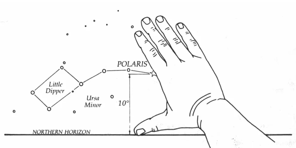
Humankind has looked to the skies to discover their way for thousands of years, from Polynesian explorers to English navigators. Humans have used the stars in the night sky to locate themselves, and to navigate towards where they wanted to go.
In modern times, we still need help from above, but in an entirely different way; through the use of GPS (The Global Positioning System).
Stars have been replaced with Satellites.
Satellites that orbit in space, circling all parts of the Earth, coupled with devices that send/receive GPS signal are able to locate us with precise accuracy, anywhere in the world.
How Does GPS Work
The way GPS works is when the user receives positioning data from at least three satellites, it is able to determine where you are. The more satellites, the better the accuracy; from up above in space, your positioning on the ground can be determined within mere yards of your actual position.
The better quality the device is, the better the accuracy.
What are the uses of GPS?
GPS is a tool that is essential for many businesses, organizations and users in a variety of industries.
Miners, fleet managers, farmers, scientists, skippers, surveyers, emergency services workers are just some of the people who utilize GPS systems on a daily basis.
They are using GPS for the preparation of surveys, field plotting, noting highly accurate time measurements, tracking company vehicles and navigating themselves across a country.
GPS is always on, and in most weather conditions.
What makes up GPS?
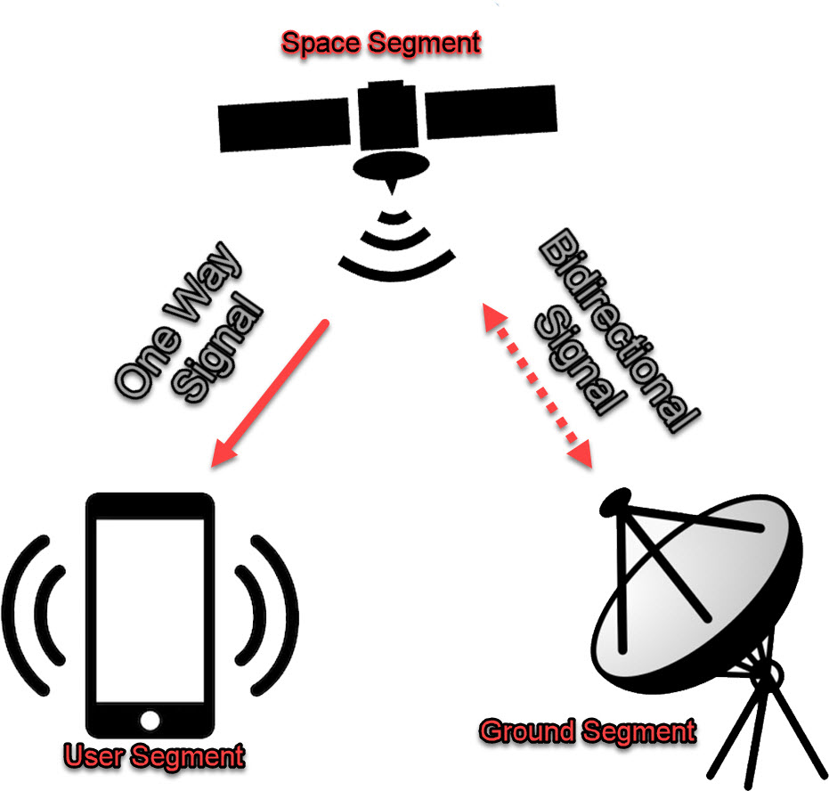
The Global Positioning System (GPS) is comprised of multiple segments, each as important as the next.
The segments are the satellites, ground control stations, and users of the system.
Satellites
Satellites are orbiting overhead at all times, at various altitudes and speeds.
They are what provides us with GPS coverage over the entire globe.
Ground Stations
The ground stations use radar as a means to control and sync the satellites, ensuring that their positioning and timing data is correct.
Users
A user is any beneficiary of the system, any device such as a gps tracking device, vehicle head unit, hand held location device, emergency epirb or even your mobile phone.
These devices when in use are constantly communicating with the satellites to obtain their location data.
Conclusion
GPS is the United States Global Network Satellite System comprising of a complex space and ground segment, with many users from a variety of industries.
GPS helps us to find out way around the Earth and without it, our civilization would be lost.